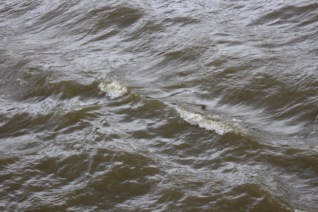
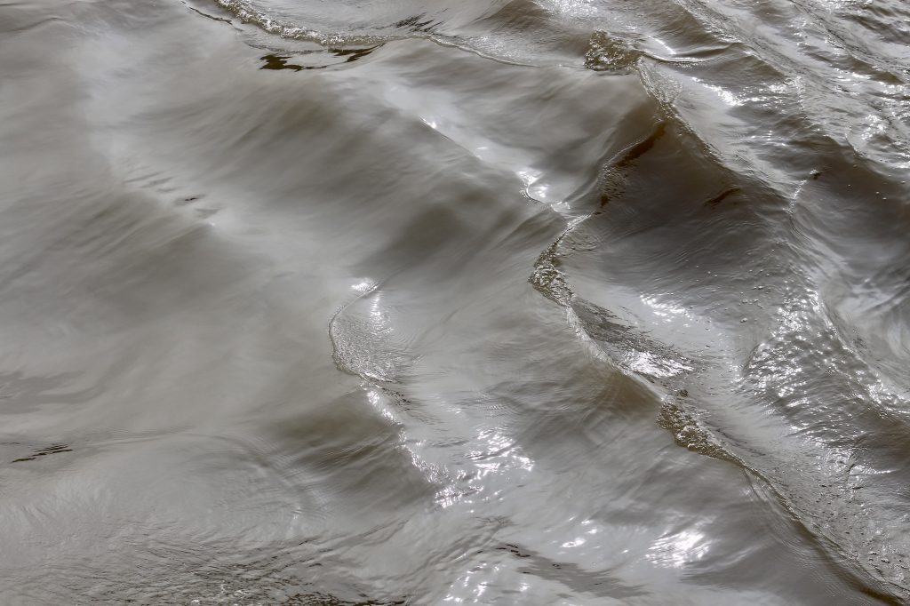
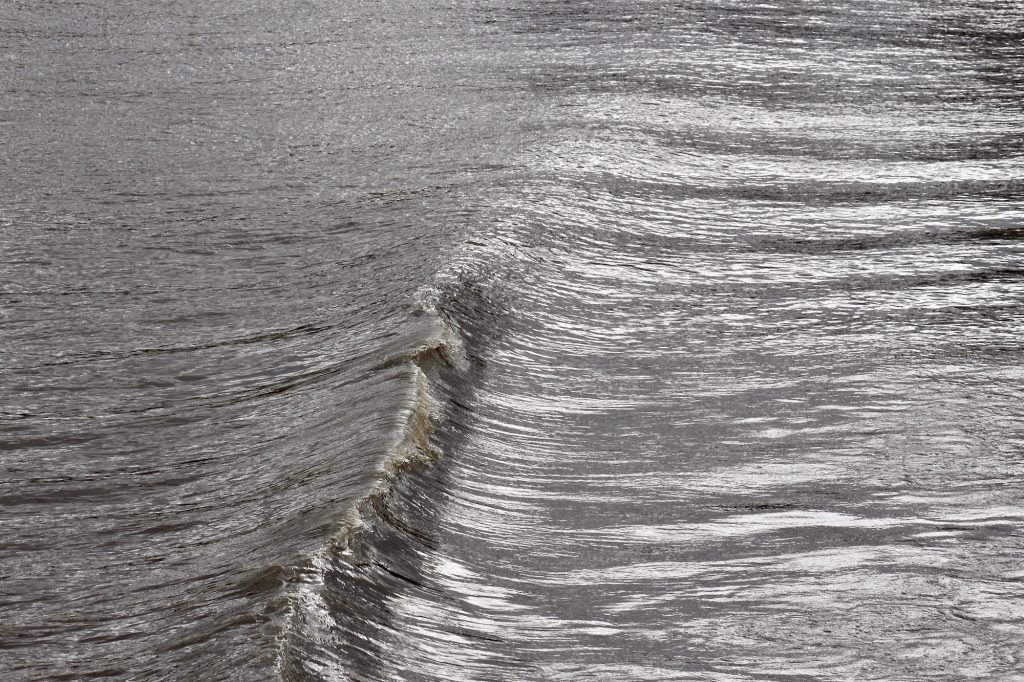
There are windless moments during slack tide when the Thames seems lake-still, perfectly mirroring trees and buildings on its surface but as you walk alongside, it’s the disturbance of tidal ebbs and flows that will catch your eye.
IIIIIIVVVIVIIVIIIIXXXIXII
Notes All pictures were taken along Lambeth Reach, mostly from Victoria Tower Gardens. For tide times of the central London River Thames, see: BBC There is a strong tidal flow along this stretch of the Thames, varying from 4 up to 8 knots.
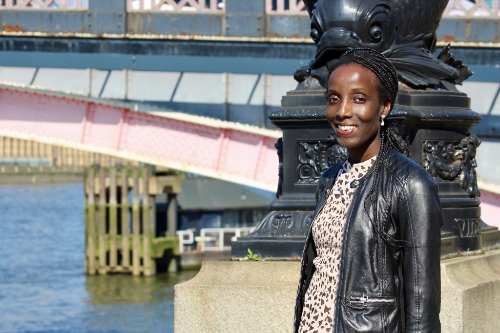
On a sunny March morning, I had the pleasure to meet and talk with Liz Gyekye who has worked for the environmental charity Thames21, for five years. Strongly committed to the aims of the charity, she explains that her mission as Communications Manager is “to raise awareness about the work Thames21 does to connect communities to their local rivers to protect them, focussing specifically on the River Thames and its tributaries.” And the spotlight this year is on London Rivers Week, chaired by Thames21, on behalf of the River Partnerships group. Liz explains that the festival brings together several organisations with interest in all aspects of London’s waterways, including the Environment Agency, Thames21, the London Wildlife Trust, the Zoological Society of London, the Thames Estuary Partnership, and others.
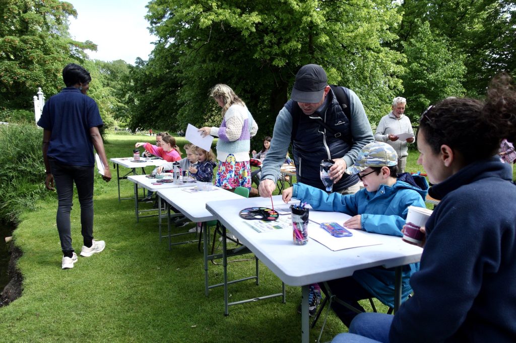
Liz Gyekye has been working hard for Thames21 promoting, what is the Festival’s tenth anniversary, and she is greatly looking forward to this “celebration of London’s rivers and the communities that care for them.” There are activities and events throughout the week from the 23rd to 31st May, for everyone interested in London’s rivers, whatever their age, including guided walks, hands-on clean-ups, cultural activities, and expert talks. She adds that the Festival “is a unique opportunity to get actively involved to explore, enjoy, and contribute to the health and vibrancy of London’s waterways.”
Liz’s career in journalism and interest in the evolving concerns about the environment, saw her editor of LAWR Magazine (Local Authority Waste and Recycling) for a number of years. She says that “she got into writing about climate change before it was fashionable” and for a decade or so she was covering mainly waste, recycling and the circular economy*.
From there, feeling the need for a change and a new challenge, her interests turned to what she describes as the ‘blue side’: rivers, waterways, and the marine environment.” And in Glasgow during COP 26, in 2021, working for Thames21, her knowledge of climate change and journalistic experience meant that she was able to satisfy the growing interest in the subject. She explains: “Journalists weren’t just reporting announcements. They were asking for detailed explanations, scientific context, and local impacts.” This meant in-depth work: “Audiences wanted to understand the complex interplay of carbon emissions, renewable energy, and environmental policies.”
Liz finds working for Thames21 and “being actively involved, incredibly rewarding. It’s brilliant to feel that you’re making a real, positive difference to the environment.” And this she does, not by simply sitting in an office but by working outside with her team and “brilliant volunteers” in such varied activities as “clearing litter, planting vegetation, or monitoring the river and taking part in citizen science events concerned with the river’s wider health.” The work promoted by Thames21 means that the public has become increasingly aware of and interested in, nature-based solutions, such as the creation of wetlands. For Liz Gyekye, “It’s being part of that process that makes you feel connected to the river in a way that goes beyond childhood memories – you’re helping to protect it for the future, not just enjoying it in the moment.”
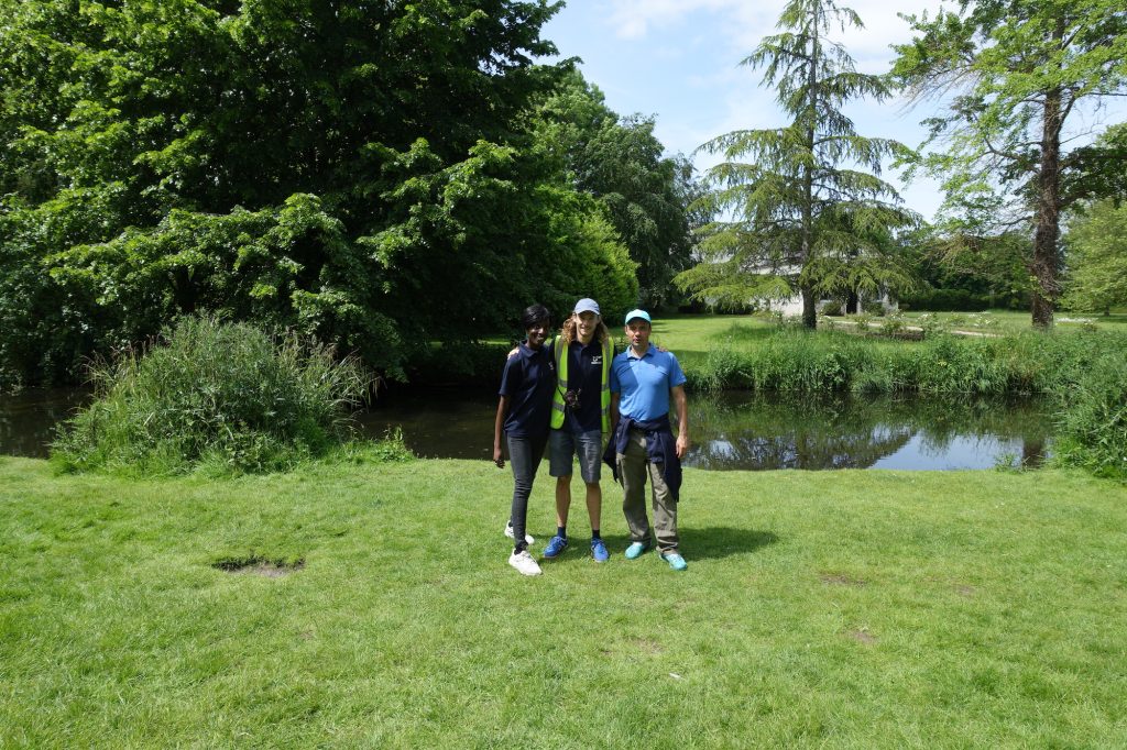
Liz at Thames21’s Big Wet Wipe Count. One of Thames21’s missions has been to survey, monitor, and remove the high volume of plastic wet wipes that have accumulated on the River Thames foreshore in London.**
Specially important to Liz among events during London Rivers Week, are those that bring young people and their families closer to the river. In schools and down on the foreshore, she enjoys sharing her knowledge “about the challenges our rivers face and the solutions that exist to tackle them”, thereby inspiring the next generation to become involved. And showing that such moments are close to her heart, she explains that they really lift her spirits: “Some adults may have mucked up the world, but knowing that I’m helping to build a sense of long-term stewardship in children is fantastic – it gives hope that the river will be in capable hands for years to come.”
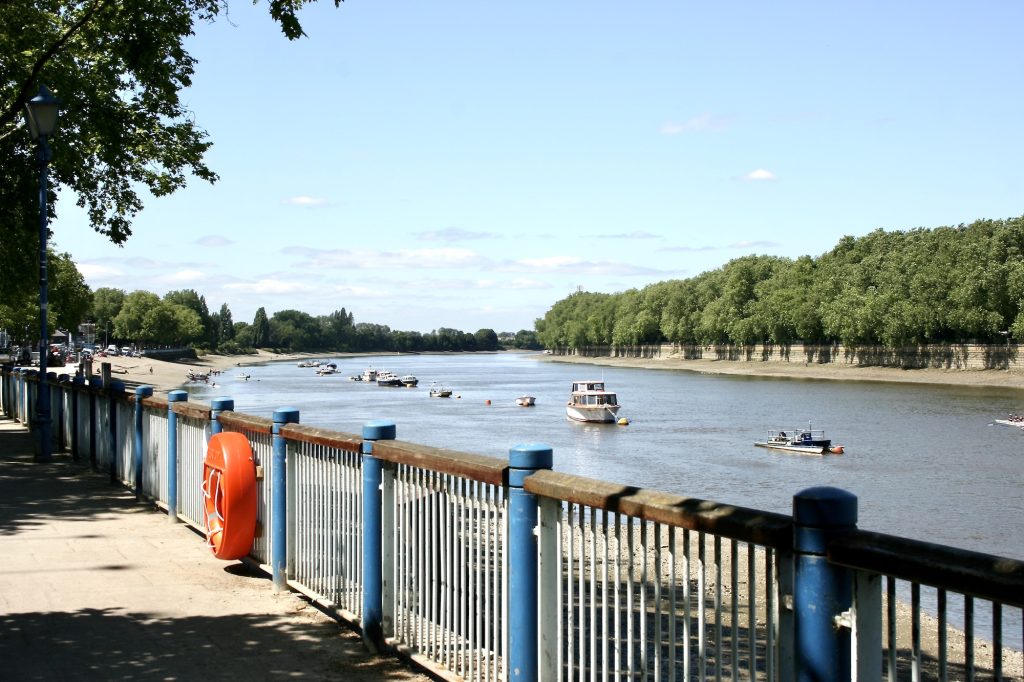
The River Thames at Putney, with Bishop’s Park on the opposite side of the river.
Liz Gyekye’s ties to the River Thames are strong, a leitmotif through her childhood. She was born in South London and raised in Putney, and tells me that “the Thames was always around, quietly shaping my weekends.” There were occasional school trips along the towpath and, the annual excitement of the Oxford v Cambridge Boat Race was “a real highlight with crowds cheering loudly from the banks”. But more regular were their family outings across Putney Bridge to Bishop’s Park from where she could see the movement of the tides and comings and goings of boats of all sizes.
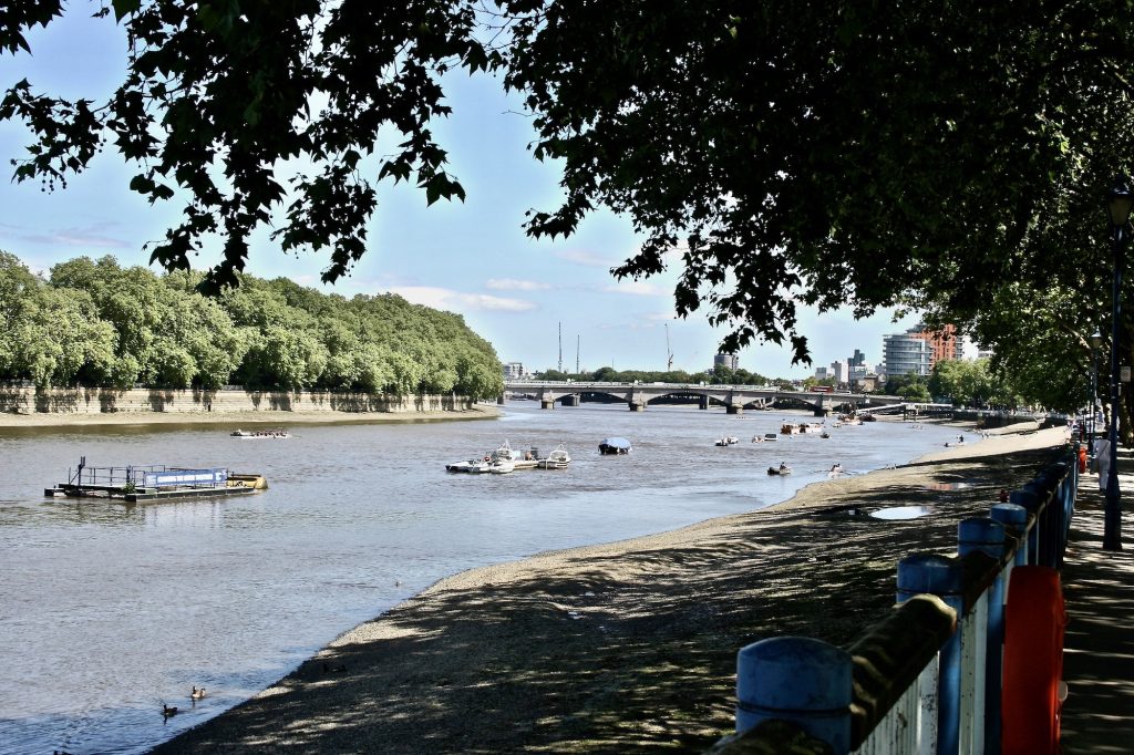
Putney Bridge in the distance, the starting point of the famous Oxford v Cambridge Boat Race.
She remembers a nine-year old neighbour “leaning precariously over Putney Bridge to watch the Boat Race, which struck her as being very dangerous.” And the memory stayed with her, prompting her to see “the river not just as scenery, but as something alive and powerful, always demanding a bit of respect. Growing up near that stretch of the Thames, in that brilliant blue-and-green space, it was impossible not to feel connected to it.”
***************************************
Thames21: A little history Founded by Celia Hensman, having previously assembled a group of key players concerned with the health of the river, Thames21 grew from her love of the Thames, and her determination to improve the quality of the river and its environment, into the important voice that it is today.
Registered as a Charity in 2004, and operating throughout England, its purpose is to restore “rivers across London and the Thames Basin, to tackle the climate and biodiversity crisis, and to inspire communities to enjoy, speak up for and look after them over the long term.” This has been achieved over more than two decades and, as Peter Finch, Chairman of the River Thames Society, says: “Thames 21 has done a great job over many years campaigning against pollution and organising clean-ups, also rejuvenating rivers and streams. We are proud to partner them.”
* Circular economy, is a sustainable system “designed to eliminate waste and keep resources in use, creating economic, environmental, and social benefits.” Zero Waste Scotland.