
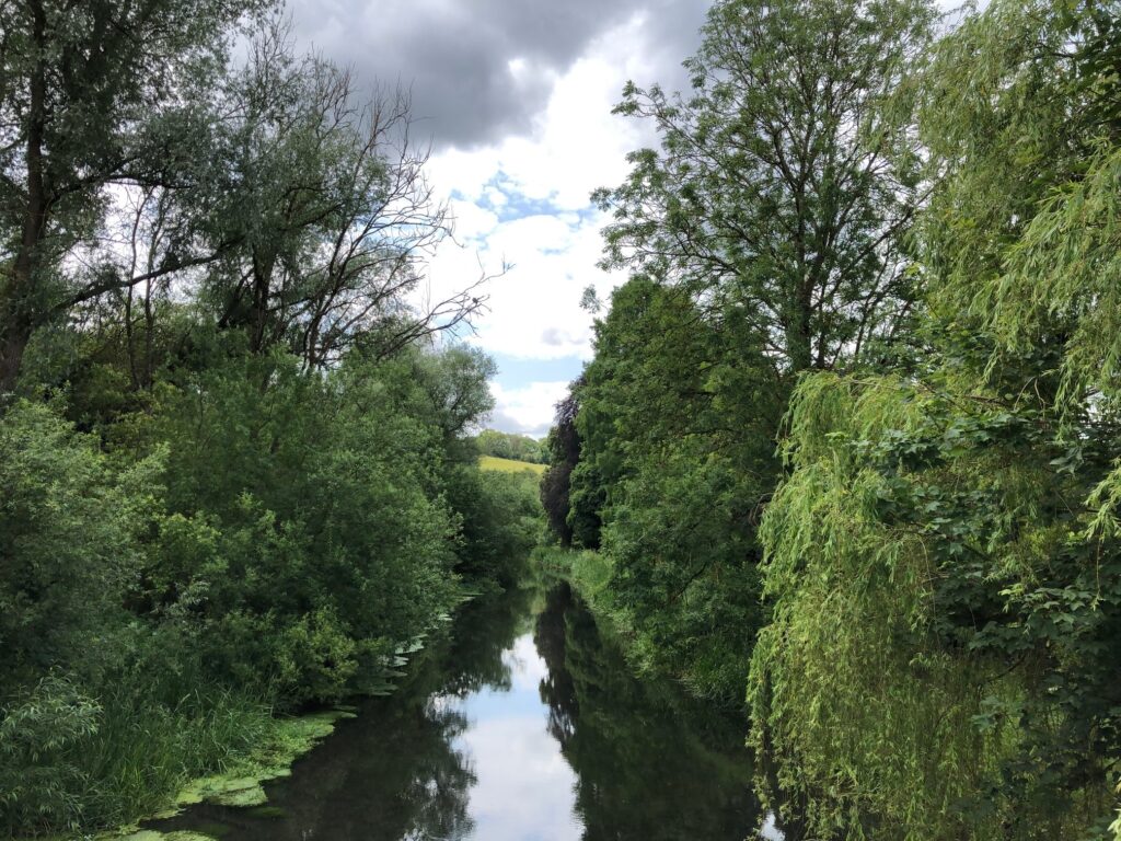
Rising in the Marlborough Downs, the River Kennet, at 77 kilometres long, is the largest of the Thames tributaries and one of England’s most important chalk streams. Joined to the man-made Kennet & Avon Canal coming from Bath, Bristol and the west, at Newbury, its final course to Reading, known as the Kennet Navigation, is interwoven with a complex series of locks, altered over the years to accommodate “Newbury” barges.
The strong current of the Kennet as it approaches the Thames is illustrated in an article from the Hungerford Virtual Museum:
“Each Newbury barge required a crew of six men and a boy. When travelling downstream they could manage with one horse, but when travelling upstream against the strong Kennet current, they often needed 8-14 horses!”
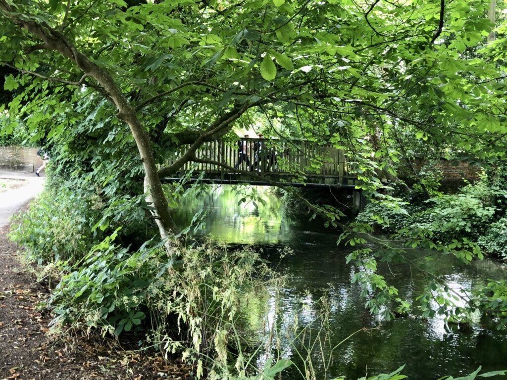
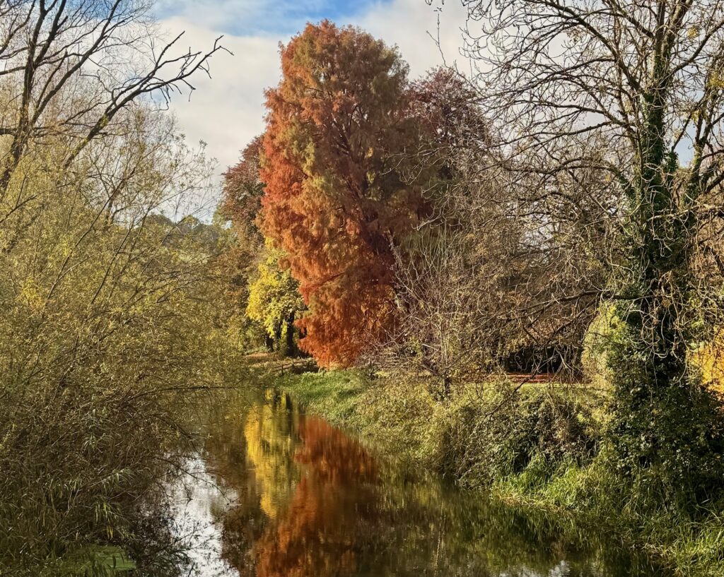
Here below are a few images, following the River Kennet upstream, taken by photographer friends who, living near the Kennet from Reading to Marlborough, have kindly taken some pictures for this article. I have also included images by Uli Harder, Nathan Walker, Roland Turner, and myself.
If you would like to explore the history of the construction; the abandonment and neglect of the canal after the building of the Great Western Railway; and the determination and “tenacity of those who would not allow this unique waterway to die”, see: The Kennet & Avon Canal Guide, published in 1973. And much has been achieved since then. After intense lobbying and tireless restoration work, the whole route was fully reopened by Queen Elizabeth II on August 8, 1990.
Reading
Photographs by Ian Young
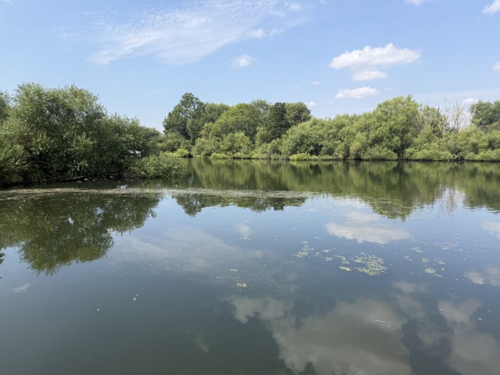
Kennet Mouth, near Reading, is where the River Kennet flows into the Thames. From here the Kennet is navigable through locks and man-made structural improvements, upstream to Newbury where it joins the Kennet and Avon Canal. According to Action for the River Kennet, in the summer months it contributes to half the flow of the Thames at that point.
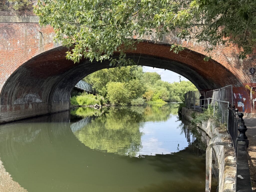
The Kennet Navigation was improved for boats by the use of the natural riverbed interspersed with “artificial lock cuts and a series of locks over 18 kilometres that overcome a fall of 40 metres.” It meant that barges could travel at that time from the Thames in London, through Reading to Newbury where it joins the Kennet & Avon Canal, then across country to Bath and Bristol.
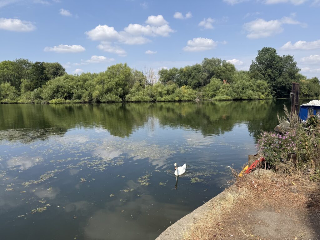
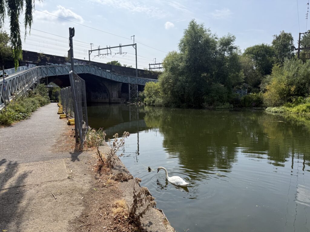
For six miles to the west of Kennet Mouth, and through Reading, the Kennet supports a secondary channel, known as the Holy Brook, which formerly filled the fish ponds and powered the water mills of Reading Abbey.
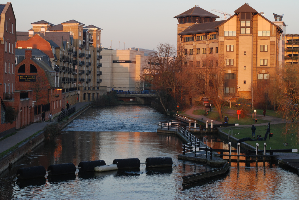
County Lock is a lock on the River Kennet in Reading town centre, administered by the Canal & River Trust as part of the Kennet & Avon Canal. Uli Harder’s photograph was taken from the IDR* footbridge. The Loch Fyne Restaurant is to the left. In the distance you see the beginning of the Oracle shopping centre and Bridge Street. Further downstream below High Bridge, Blakes’s Lock is the last lock before the River Kennet flows into the Thames.
The course of the Kennet between Reading and Newbury looks somewhat complicated on the Ordnance Survey map I’ve been studying, with constructed channels and locks, though local people and boat operators will know it well.
Thatcham
One of the 104 locks along the Kennet & Avon Canal, is the Monkey Marsh Lock in Thatcham built between 1781 and 1723. Mirek Gosney writes: “This lock is recorded as an ancient monument by English Heritage, due to it being one of only two surviving examples of a turf-sided lock along the entire waterway.” The other lock is the Garston Lock near Theale.
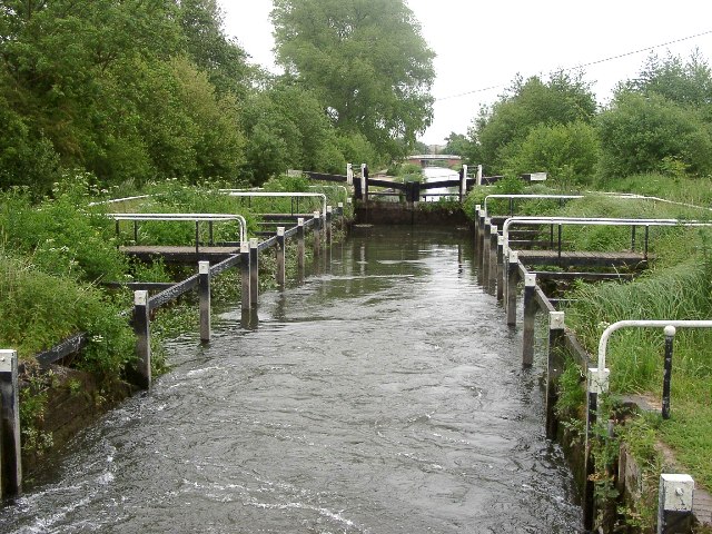
Close to Thatcham is a Site of Special Scientific Interest (SSSI), one of a number in the Kennet Catchment area, valued for their unique species of flora and fauna. The well-known Woolhampton Reed Bed is particularly interesting but the whole site supports a wide variety of woodland, bird and insect life including warblers and different species of dragonflies and damselflies.
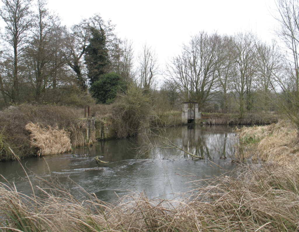
Newbury
Photographs by Nathalie Johnson
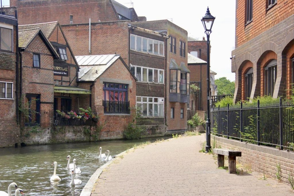
The whole waterway from Bristol to the River Thames at Reading, is known as the Kennet & Avon Canal but in fact a comprehensive article in Wikipedia explains that “the Kennet & Avon Canal is actually made up of two lengths of navigable river linked by a canal.” Beginning at Bristol it follows the course of the River Avon to Bath where it is linked to the canal.
Built between 1794 and 1810, the 92 kilometre canal was initially a success but its profitability eventually turned to a loss, as happened over so much of the country with the arrival of the railways. For the Kennet & Avon Canal, it was the building of the Great Western Railway in the first part of the nineteenth century that led to its gradual demise.
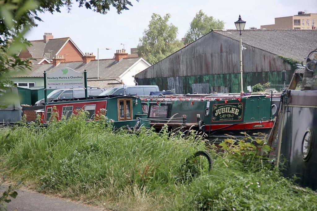
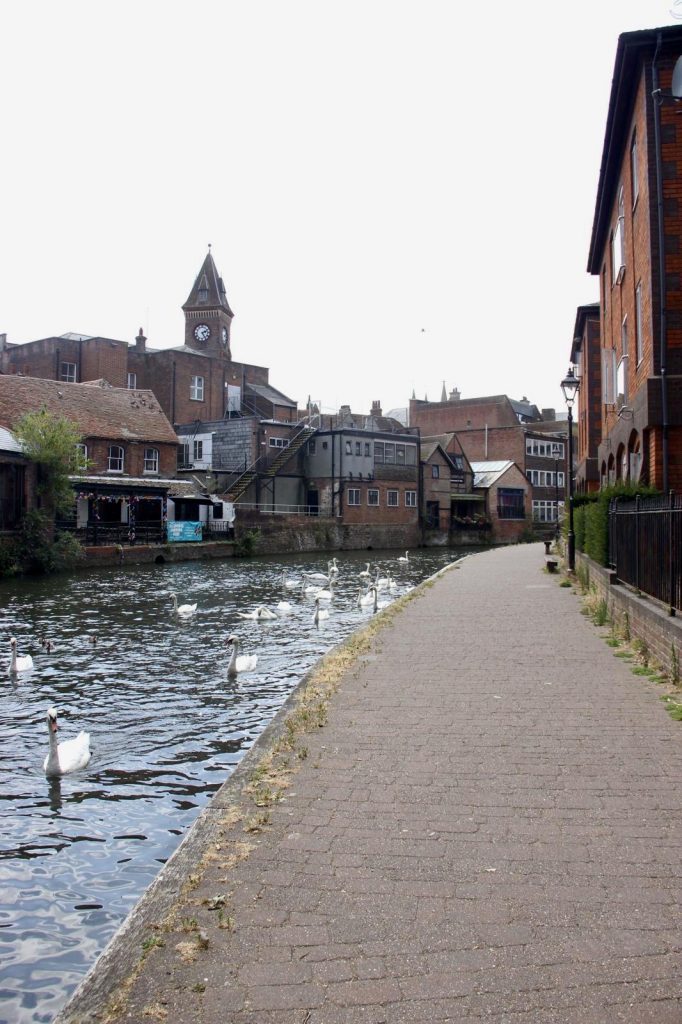
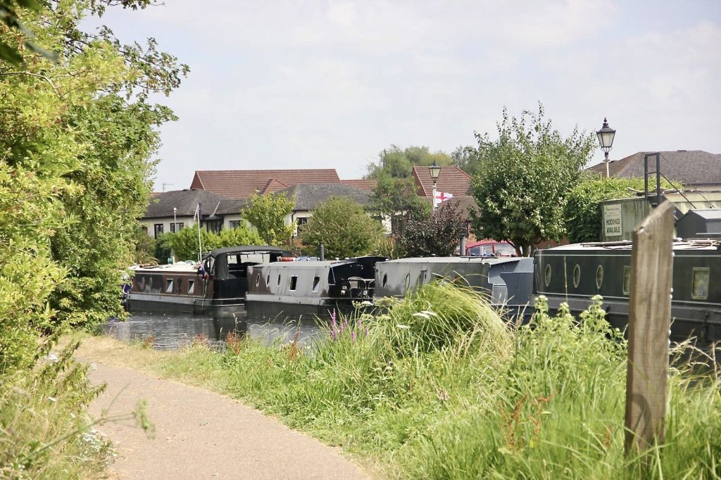
In the centre of Newbury the canalised Kennet Navigation splits into two: the River Kennet follows its more or less natural course, and the man-made Kennet & Avon Canal, which runs close to the River Kennet until Hungerford, where it turns to the south.
Hour long guided canal cruises around Newbury on traditional narrowboat barge JUBILEE, are a relaxing and interesting way to discover the canal and to explore Newbury’s architecture, history and industry. For canal and engineering enthusiasts the tours also include rising up a lock and passing through a swing bridge.
Hungerford
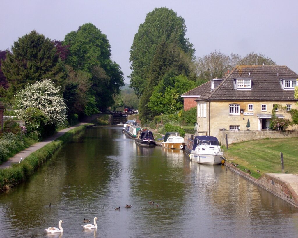
Heading upstream from Newbury, where the River Kennet is in theory separated from the Kennet & Avon Canal, Ordnance Survey maps illustrate the complexity of their relationship, which appears to overlap in places. Added to which, the Kennet is joined by an important tributary, the River Dun. Local people, particularly fishing enthusiasts, will know this well. Blogger, Greenspace Walking experienced the closeness of the two waterways, writing: “In places we were surrounded by water with the canal on one side and the Kennet on the other.” Though some were not visible, “you could hear the rush of weirs and the trickle of small streams.”
By the time the Kennet reaches Marlborough, the distance between the river and canal has stretched to around five miles.
Marlborough
Photographs by Alan Johnson
Poet Sir John Betjeman was educated at Marlborough College a hundred years ago, in the early 1920s. It was said that he did not enjoy his time there. In those days, public schools were very spartan and meted out tough discipline. Yet, he was said to have enjoyed walking round the town, visiting churches, and exploring the surrounding countryside, particularly along the River Kennet, evoking in Summoned by Bells,** his verse autobiography:
“The smell of trodden leaves beside the Kennet […]/November showers upon the chalk dust/ Would turn to streaming milk in Manton Lane… “. And further in the same chapter, describing an outdoor art lesson, he writes: “When trout waved lazy in the clear chalk streams, /Glory was in me as I tried to paint/The stretch of meadow and the line of downs…”
He was, and remains, one of our best-loved poets. Poet Laureate, founding member of the Victorian Society, and a tireless campaigner to preserve the countryside and the jewels of our Victorian architecture – most famously for the preservation of St. Pancras Station and the fabulous St. Pancras Hotel.
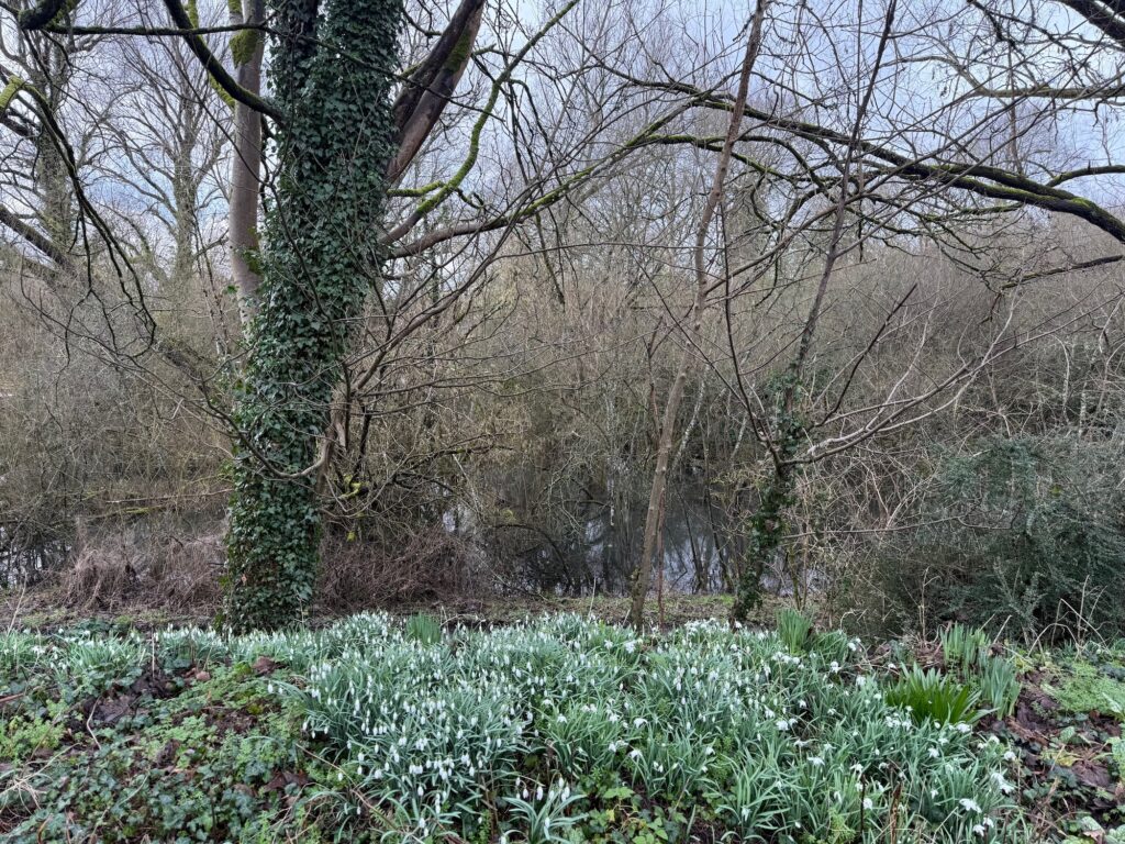
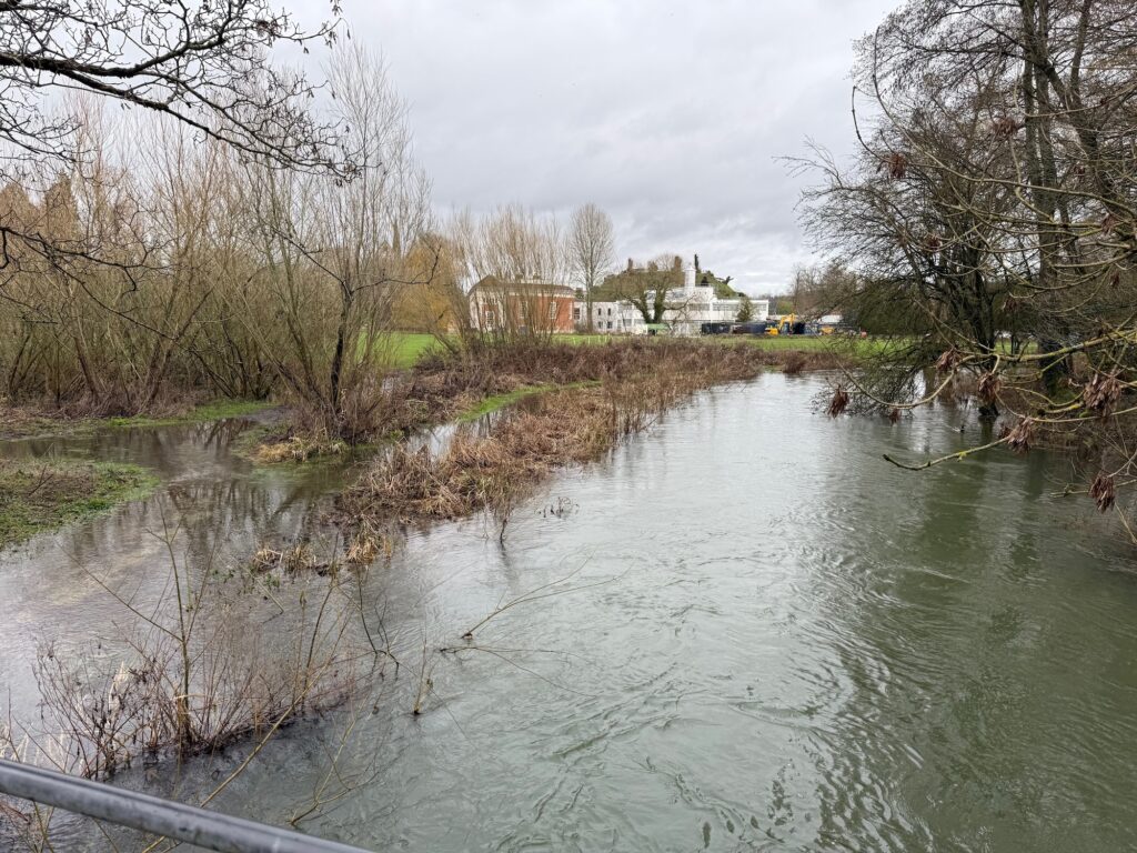
The Kennet has always been liable to flooding but on January 5th, 2o24, Marlborough was hit, writes Sarah Dalton in the Gazette and Herald, “by the worst flooding in the town’s history as Storm Henk swept through the streets, submerging homes, vehicles and businesses”. There was little warning as several days of heavy rain caused the River Kennet to overflow suddenly. To cope with greater resilience in the event of future flooding measures have been put in place by Marlborough Town Council in collaboration with Action for the River Kennet and include the Marlborough Sustainable Rainscape project.
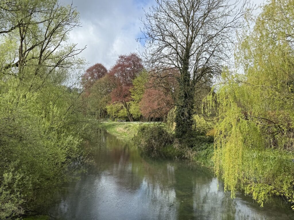
Four years earlier in February 2020, the River Kennet had burst its banks in several places of the town during Storm Dennis but the traditional water meadows did what they were designed to do. Working with nature. An article in the Marlborough News by Charlotte Hitchmough, December 2014, explains how “water meadows were part of a traditional wetland agricultural system that gently flooded or ‘floated’ the land in early spring to warm the soil, promoting a ‘first bite’ grass for sheep, and again later in the summer to encourage a last flush of growth.”
These days there is a heightened awareness of the precious yet precarious nature of England’s chalk streams and there are many groups and associations, both national and local, doing their best to understand their place in nature and to protect them. The River Kennet has had its advocates for a long time and hopefully their work will continue to make a difference.
Sources and Further Information
Action for the River Kennet
Boat trips in Reading, see Visit Reading
Explore the centre of Reading by boat with Matilda Too
Boat trips in Newbury, see Visit Newbury
For details of the town and opportunities for fishing, go to ‘ Visit Hungerford and look at ‘Things to do’.
For information about Marlborough and the Town Council’s flood info dashboard, go to Visit Marlborough
See: Ordnance Survey Maps covering the River Kennet from Reading to Marlborough.
See the Thames Rivers Trust for information about the River Thames and its tributaries.
Also follow and join The River Thames Society
Thanks for their photographs to:
Alan Johnson: A photographer from Marlborough.
Nathalie Johnson: A young photography student based in Newbury.
Nathan Walker: author of The River Angler, A Fishing Diary.
Ian Young: Lives in Reading and regularly posts his pictures on social media. You can follow him on Twitter-x @ianyoung33 and @GeeseAll, and on Bluesky @iangrebe.bsky.social
Notes
*Inner Inner Distribution Road – ring road round the centre of Reading.
** John Betjeman, Summoned by Bells, London, 1960